

-
Hazard Mitigation Plan
Multi-Jurisdictional Hazard Mitigation Plan
DRAFT Flood Map Changes
In 2025 FEMA has announced draft changes to Flood Hazard Maps.
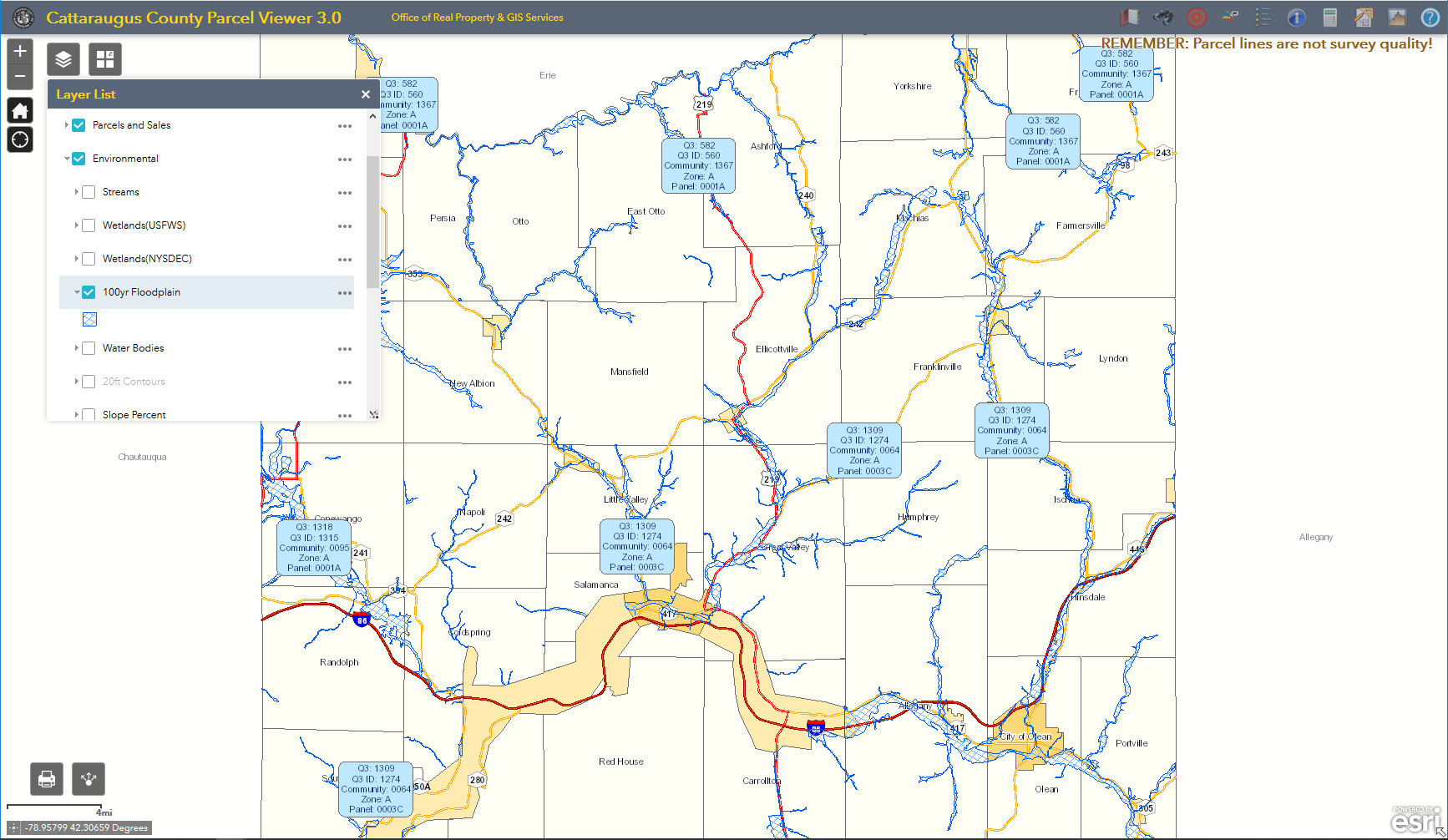
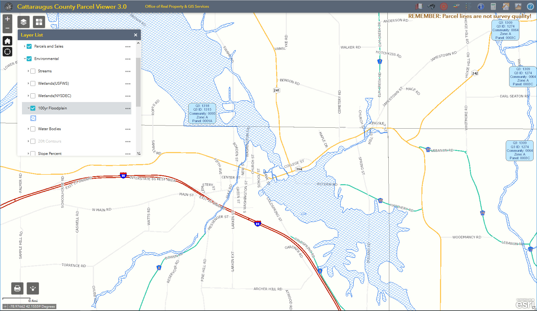
Flood Maps
Where may you find flood plan map information?
The Planning Office has Flood Plain Maps if you schedule a time to view the maps.
Online Maps
View Floodplain maps online using the Cattaraugus County's Parcel Viewer and toggle on the "100 year Floodplain" layer.
Also, you can go to FEMA's Flood Map Service Center
Green Infrastructure
x
Watershed Protection
x