
Maps and Interactive maps of Cattaraugus County
If you have questions about maps of Cattaraugus County or if you'd like a custom map made then please contact the Office of Real Property & GIS Services.
Interactive Maps
We have a handful of interactive maps of Cattaraugus County.
Interactive Parcel Viewer
The Interactive Parcel Viewer lets you view information on parcels of land in Cattaraugus County; information like land owner, owner history, acreage, estimated taxes and more.
Other Interactive Maps
- Agriculture Map on AgCatt.com
- Allegany State Park Interactive Map
- Amish Trail Interactive Map on AmishTrail.com
- Cemetery Viewer
- Outdoor Viewer
Maps for Print
Road / Street Map for Cattaraugus County
Version 2015 (File size: 3.75 MB) - Road/Street Map of Cattaraugus County last updated in 2015.
3D Elevation of Cattaraugus County Map
(File size: 6.33 MB) - This detailed 3D Elevation of Cattaraugus County map shows the beautiful contours of the hills and valleys.
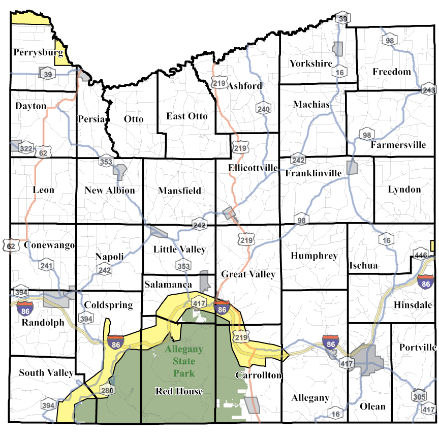
Allegany State Park Printable Map
The Allegany State Park Trails Map on the Enchanted Mountains website has the most up to date maps and information on Allegany State Park, NY's largest state park.
View the Allegany State Park Map
Amish Trail Map
All Amish Shop locations along NY's Amish Trail within beautiful Cattaraugus County. Use this map to travel back roads and discover a relaxing peace while shopping for Amish wares. Locations and items are subject to change depending on the season.
Create Maps Online
You may create your own Cattaraugus County maps online using the Interactive Parcel Viewer or any of the interactive Cattaraugus County Maps.